Marine Sextant
Overview
Applications
Measuring the altitude of celestial bodies to determining the position of the ship at sea.
Measuring the two horizontal angles between three known position land objects the ship location on chart by the help of a station pointer.
Measuring the vertical angle of a known altitude object to obtain its distance.
Specifications
Model | GLH130-20 | GLH130-40 | GLH130-60 |
Measuring range | -5°~130° | -5°~130° | -5°~130° |
Accuracy | ±10′ | ±20′ | ±30′ |
Readability | 12° | 12° | 12° |
Temperature range | -30°~+50℃ | -30°~+50℃ | -30°~+50℃ |
Telescope | 3.5×40 | 3.5×40 | 3.5×40 |
Lamp voltage | 3V | 3V | 3V |
Net weight | 1.2kg | 1.2kg | 1.2kg |
Principles
When a ray of light is reflected by a plane mirror, the angle of the incident ray is equal to the angle of the reflected ray; when the incident ray, reflected ray and the normal lie on the same plane. When a ray of light suffers two successive reflections in the same plane by two plane mirrors, the angle between the incident ray and the reflected ray is twice the angle between the mirrors.
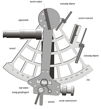
The diagram of structure

How to use a marine sextant
Use a map to find your position above sea level.
Sight the horizon by looking through the scope at the horizon mirror.
Move the index arm until you see the object you’re trying to measure.
Adjust the arm until the object appears close to the horizon.
Turn the micrometer knob until the object rests on the horizon.
Record the time at which you made your sighting.
Look at the position of the index arm and the micrometer knob to find the angle.
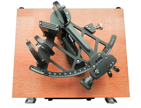
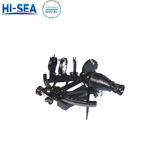
Image of marine sextant (GLH130-40)


