Marine GPS
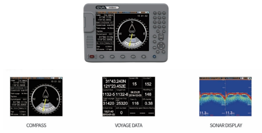
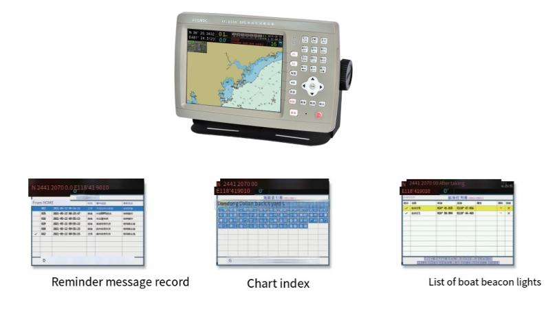
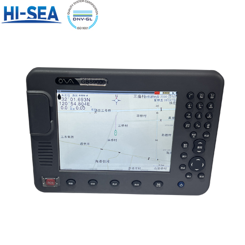
Marine GPS receivers use signals from satellites to determine the exact location of a vessel. This technology is fundamental for accurate navigation. Our products are innovative GBS9000 series and FT series, these products adopt advanced technology of high stable navigational speed and course, help to accurately position.
Overview
General characteristics
Large color screen, intuitive and clear display.
National coastline (electronic chart) and place name tag information display.
Support various navigation and navigation functions.
Large storage capacity and chart memory.
Multi-channel standard signal input /output, sentence/ baud rate can be set.
Provide AIS data information display operation interface.
Support embedded /desktop/ ceiling installation.
Product show
GBS series

FT8500


